
Weather Helicopter Coloring Page
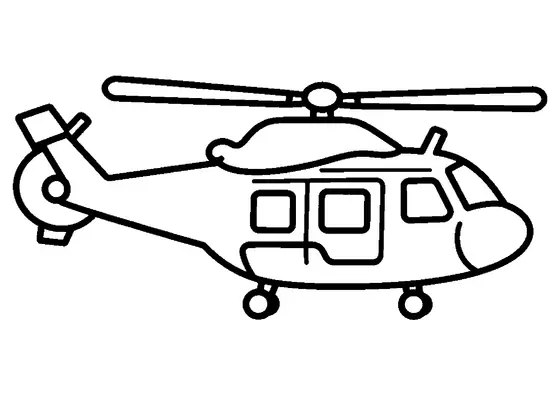
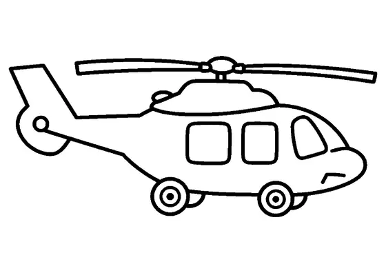
An atmospheric research helicopter featuring a ventral sensor pod maneuvers beside a large cloud.

A4 format (landscape), black outlines on a white background · for home and classroom use
All coloring pages: Helicopter Coloring Pages
Similar coloring pages: Helicopter Coloring Pages


What else can you print? Free, no account needed
Custom Name Coloring Pages
Enter your child's name to generate a custom coloring page featuring large outline letters to color and decorate.
Open generator →Connect the Dots Generator
Eight connect-the-dots pictures across three difficulty levels. Features faint outline guides for younger children and dots only for older kids.
Open generator →Printables
Worksheets, tracing lines, mazes and dot-to-dots in A4.
Browse printables →
Weather Helicopter in Action
A weather research helicopter flies next to a substantial cloud while gathering atmospheric data. Mounted underneath the central fuselage, a large meteorological sensor pod measures airborne particles and atmospheric conditions as the aircraft navigates through the sky.
Atmospheric Data Collection
Weather monitoring helicopters play a vital role in meteorology by collecting real-time data directly inside cloud formations and storm boundaries. Instruments attached to the underside of the fuselage record temperature, humidity, pressure, and air turbulence. This gathered information is transmitted instantly to forecasting centers to improve weather predictions and study severe storm development.
Real Colors of Weather Helicopters
- Fuselage: bright yellow or clean white with blue atmospheric patterns
- Sensor housing: silver aluminum or black carbon composite
- Main cloud: bright white top with light gray shaded underside
- Rotor assembly: metallic gray or black