
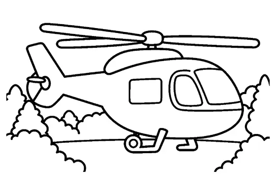
Research Helicopter with Antenna – Top View
An overhead aerial perspective showcases an environmental survey aircraft designed for collecting scientific data from above.

A4 format (landscape), black outlines on a white background · for home and classroom use
All coloring pages: Helicopter Coloring Pages
Similar coloring pages: Helicopter Coloring Pages



What else can you print? Free, no account needed
Custom Name Coloring Pages
Enter your child's name to generate a custom coloring page featuring large outline letters to color and decorate.
Open generator →Connect the Dots Generator
Eight connect-the-dots pictures across three difficulty levels. Features faint outline guides for younger children and dots only for older kids.
Open generator →Printables
Worksheets, tracing lines, mazes and dot-to-dots in A4.
Browse printables →
Aerial Perspective of an Environmental Survey Aircraft
This page presents an overhead perspective of a research helicopter equipped with a rooftop antenna. The specialized aircraft flies directly over a forest canopy, highlighting the structural design of the rotor assembly and external antenna equipment from a top-down angle.
Understanding Top-Down Aviation Perspectives
Observing a helicopter from directly above offers a clear view of how main rotor blades sweep around the central hub to create lift. From an aerial viewpoint, researchers can map vast tracts of forestry while observing changes in vegetation density across different seasons. Top-view angles are frequently used by aerospace engineers and mapmakers to analyze vehicle geometry and ground coverage patterns.
Real-World Colors for Survey Helicopters
- Aircraft body: Crisp white with blue or red stripes for identification
- Antenna equipment: Dark gray or metallic silver
- Main rotor blades: Neutral gray with high-contrast tip markings
- Tree canopy below: Lush emerald, sage, and forest green