
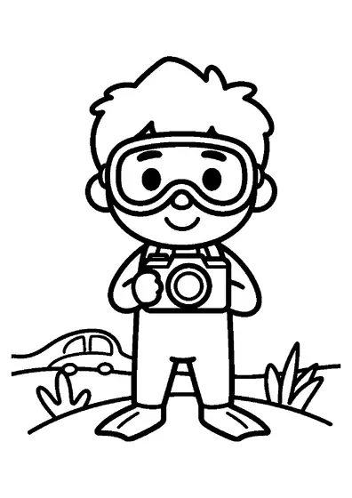
Marine Cartographer with Map Holder
A seabed specialist surveys underwater topographies while carrying dedicated mapping tools beneath ocean waves.

A4 format (portrait), black outlines on a white background · for home and classroom use
All coloring pages: Fish and Ocean Life Coloring Pages
Similar coloring pages: Fish and Ocean Life Coloring Pages




What else can you print? Free, no account needed
Custom Name Coloring Pages
Enter your child's name to generate a custom coloring page featuring large outline letters to color and decorate.
Open generator →Connect the Dots Generator
Eight connect-the-dots pictures across three difficulty levels. Features faint outline guides for younger children and dots only for older kids.
Open generator →Printables
Worksheets, tracing lines, mazes and dot-to-dots in A4.
Browse printables →
Mapping the Depths of the Ocean Floor
Marine cartographers map the contours, underwater ridges, and valleys of ocean basins using oceanographic equipment. Diving gear allows cartographers to inspect seabed formations and record underwater geography.
Charting Underwater Topography
Modern seabed mapping relies on acoustic sonar technology to measure water depth and chart subsea structures accurately. Detailed ocean maps help navigators avoid underwater hazards and assist researchers in studying sea floor geology.
Real Colors of Diving and Cartography Equipment
- Diving gear suit: dark blue, black, or red
- Map case frame: black or silver aluminum
- Transparent case cover: clear plastic
- Fin blades: black, orange, or yellow