
Autumn Forest Survey Helicopter
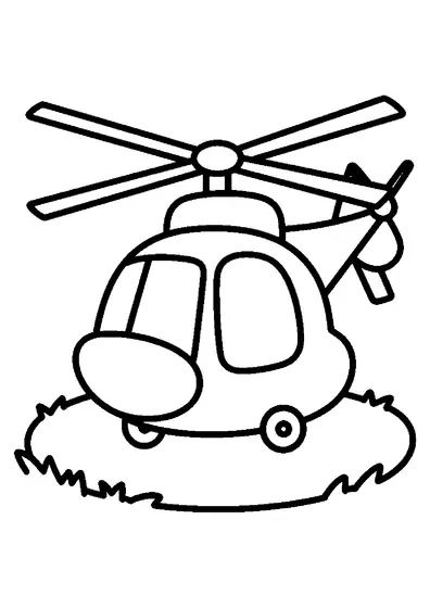
An aerial survey helicopter fitted with a specialized camera flies above a large autumn leaf during seasonal forest monitoring.

A4 format (portrait), black outlines on a white background · for home and classroom use
All coloring pages: Helicopter Coloring Pages
Similar coloring pages: Helicopter Coloring Pages


What else can you print? Free, no account needed
Custom Name Coloring Pages
Enter your child's name to generate a custom coloring page featuring large outline letters to color and decorate.
Open generator →Connect the Dots Generator
Eight connect-the-dots pictures across three difficulty levels. Features faint outline guides for younger children and dots only for older kids.
Open generator →Printables
Worksheets, tracing lines, mazes and dot-to-dots in A4.
Browse printables →
Survey Helicopter Equipped with Aerial Camera Gear
A specialized survey helicopter flies over natural landscapes to gather environmental imagery and map ground changes. Mounted to the exterior structure, a high-resolution camera records detailed geographical data from stable flight altitudes. Beneath the aircraft flight path, an autumn leaf indicates the changing seasonal foliage on the ground.
Scientific Data Collection in Autumn Flight Operations
Forestry departments rely on aerial survey helicopters in autumn to map tree health and monitor seasonal defoliation patterns across large regions. External cameras mounted to optical gimbals compensate for vibration caused by the main rotor blades. These autumn surveys help environmental scientists track forest canopy shifts before winter snowfall begins.
Genuine Colors of Survey Helicopters and Autumn Foliage
- Helicopter Fuselage: High-contrast white, yellow, or safety orange
- Aerial Camera Unit: Anodized black, dark gray, or metallic silver
- Autumn Leaf: Burnt orange, crimson red, or deep golden yellow
- Rotor Blade System: Charcoal gray or non-reflective black
- Aircraft Landing Gear: Metallic silver or dark gray