
Smartwatch with a Map at a Cable Car Station
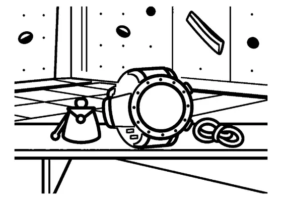
This scene shows a modern smartwatch displaying a navigation map on a wooden table at a mountain cable car observation deck.

A4 format (landscape), black outlines on a white background · for home and classroom use
All coloring pages: Phone Coloring Pages
Similar coloring pages: Phone Coloring Pages


What else can you print? Free, no account needed
Custom Name Coloring Pages
Enter your child's name to generate a custom coloring page featuring large outline letters to color and decorate.
Open generator →Connect the Dots Generator
Eight connect-the-dots pictures across three difficulty levels. Features faint outline guides for younger children and dots only for older kids.
Open generator →Printables
Worksheets, tracing lines, mazes and dot-to-dots in A4.
Browse printables →
Wearable Navigation at Alpine Cable Car Stations
Smartwatches equipped with digital GPS maps provide hikers and alpine visitors with real-time location data high above mountain valleys. Resting on a wooden observation deck table near a cable car terminal, the compact device displays trail topography and transit routes for mountain explorers.
How Mountain Cable Cars and GPS Function
Cable car systems rely on motorized steel cables suspended between tall steel towers to transport passengers up steep mountain slopes safely. Modern smartwatches receive signals from global satellite networks to pinpoint location coordinates without requiring cellular phone towers. Observation decks at upper cable stations offer panoramic views while providing resting spots with wooden tables for visitors planning their descent.
Real Colors of a Smartwatch and Observation Deck
- Smartwatch casing: Space gray aluminum, polished silver steel, or matte black polymer
- Watch display screen: Dark blue background with colorful digital map trail lines in red and green
- Wrist strap: Black silicone, brown leather, or woven gray nylon
- Wooden table: Weathered pine brown, dark oak, or natural cedar tint