
Rocket Over a Sandy Bay
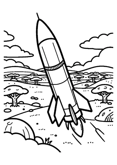
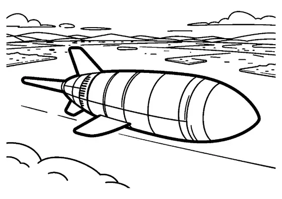
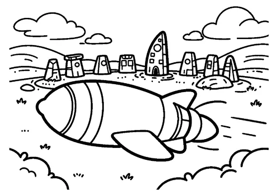
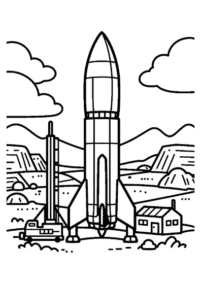
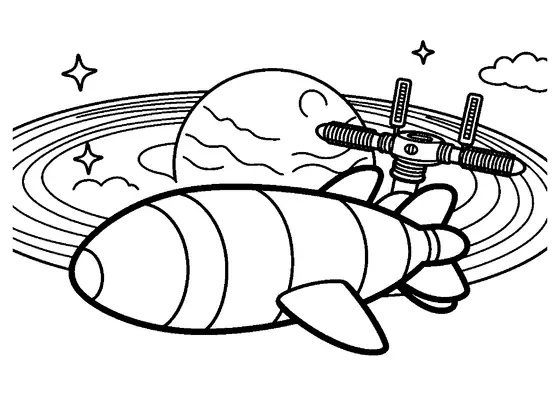
An exploration rocket flies above a coastal bay filled with sandy islets, palm trees, and gentle water waves.

A4 format (landscape), black outlines on a white background · for home and classroom use
All coloring pages: Space and Rocket Coloring Pages
Similar coloring pages: Space and Rocket Coloring Pages

What else can you print? Free, no account needed
Custom Name Coloring Pages
Enter your child's name to generate a custom coloring page featuring large outline letters to color and decorate.
Open generator →Connect the Dots Generator
Eight connect-the-dots pictures across three difficulty levels. Features faint outline guides for younger children and dots only for older kids.
Open generator →Printables
Worksheets, tracing lines, mazes and dot-to-dots in A4.
Browse printables →
Exploration Rocket Flying Across a Coastal Bay
An exploration rocket flies over a coastal bay featuring small sandy islets, palm trees, and gentle waves. Coastal topographies on planet surfaces feature shallow aquatic environments where land masses break into isolated islands. Spacecraft equipped for planetary exploration often fly low over coastal shorelines to survey geography and water systems.
Facts About Islands, Bays, and Rocket Navigation
Islets are small, land-based formations surrounded entirely by water, formed by coral growth, sand deposition, or volcanic activity. Coastal waters exhibit gentle waves when sheltered by surrounding bay landforms, which block heavy open-ocean swells. Exploration rockets carry optical cameras and radar mappers to collect surface data while flying across coastal regions.
Real World Colors of Coastal Bay Settings
- Exploration rocket skin: high-contrast white with orange safety panels
- Coastal bay water: turquoise green, azure, or pale blue
- Sandy islets: warm cream, golden yellow, or beige
- Island palm trees: deep leafy green foliage with brown trunks